Free Printable Map Of Kauai – Planning a visit to Kauai, Hawaii’s Garden Island? A free printable map of Kauai is one of the most practical tools you can take along. Cell service drops out in canyons, along the Na Pali Coast, and on remote beaches, so a paper map keeps you oriented even when your phone does not.
This page explains why a printed Kauai map matters, what the main regions look like, and where to get legitimate free printable versions from trusted sources.
Why You Need a Free Printable Map of Kauai?
Kauai is only about 25–33 miles across, yet its single main highway does not form a full loop. The dramatic Na Pali Coast has no road, so driving from the North Shore to the West Side always means backtracking through Lihue. Roads are mostly two-lane and winding, and driving times are longer than the mileage suggests.
A free printable map of Kauai shows highways (Kuhio Highway 56 and Kaumualii Highway 50), towns, beaches, lookouts, and major attractions in one clear overview. Print it before you leave the mainland or grab a fresh copy at the airport visitor center. Keep one in the car and another in your day bag.
Official Free Printable Kauai Maps
Start with the official Hawaii Tourism Authority resource. On the Go Hawaii Kauai maps page you can download a PDF driving map of Kauai and view a clear image file of the island. These maps cover the five main regions—Lihue, East Side (Coconut Coast), North Shore, South Shore, and West Side—along with key roads and geography.
Visit the official page here:
Go Hawaii Kauai Maps & Geography
This is the most authoritative free source for U.S. travelers.
Additional Free Printable Kauai Maps
Hawaii-Guide.com offers several free printable Kauai maps that you can click to view full-size and then download or print. Options include a basic overview with mileage chart, road maps, topographic views, elevation maps, beach maps, and snorkel-spot maps. These are designed for trip planning and work well as companions to the official map.
Find them here:
Hawaii-Guide Free Printable Kauai Maps
Another straightforward option is the detailed Kauai map on Ontheworldmap.com. It shows roads, towns, beaches, parks, and points of interest. The site allows free download and printing for personal, educational, and non-commercial use (attribution required).
Access it here:
Ontheworldmap Kauai Map
For higher-resolution detailed island maps suitable for printing, OrangeSmile provides large Kauai Island maps available for free download and print.
See the collection here:
OrangeSmile High-Resolution Kauai Maps
(Limit yourself to these primary free sources; avoid random third-party sites that may not be current or accurate.)
Free Printable Map Of Kauai
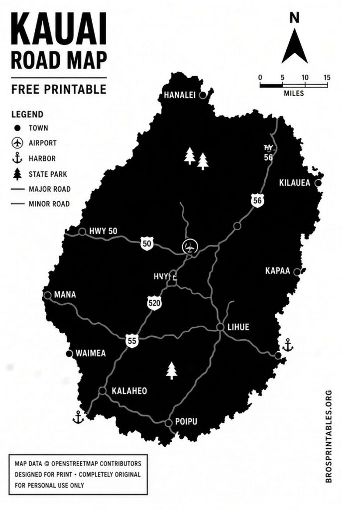
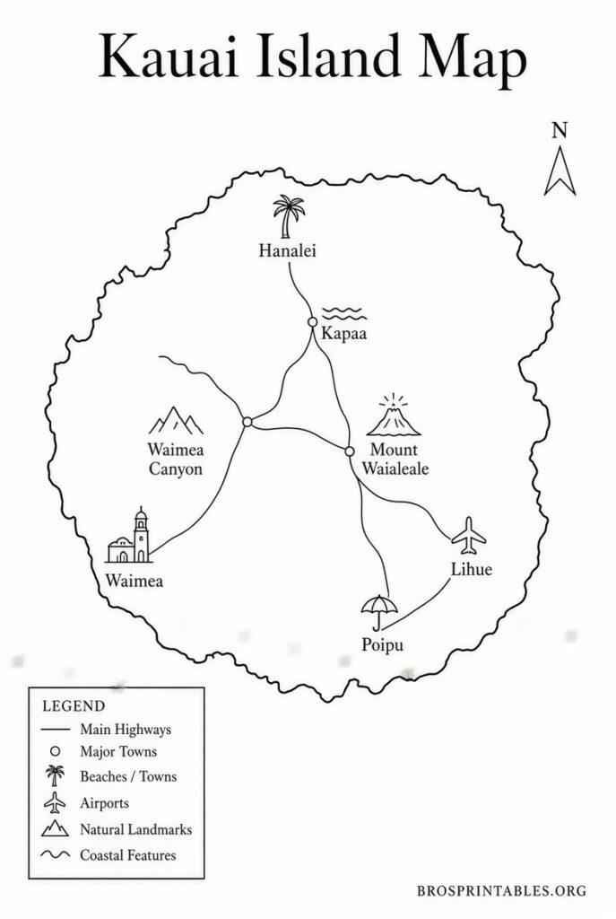
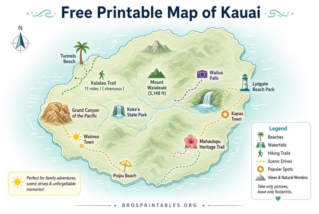
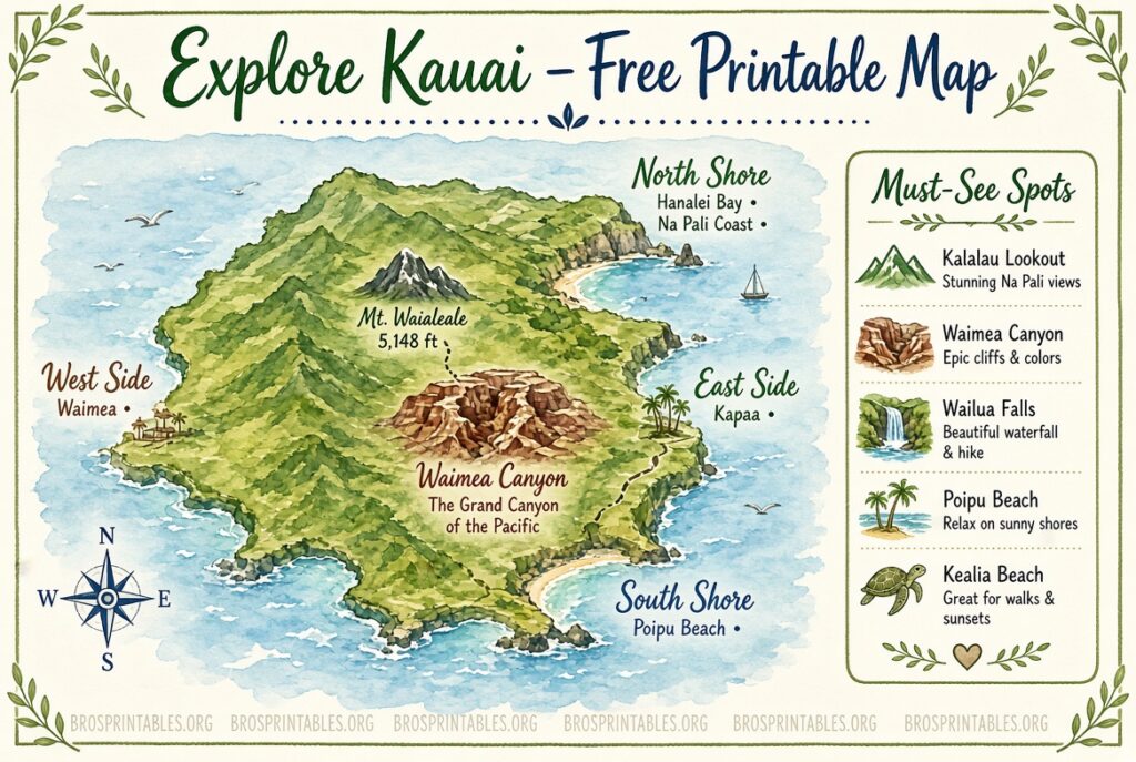
Understanding Kauai’s Regions on Your Map
- North Shore (Princeville, Hanalei, Haena): Lush, dramatic, and wetter. Road ends at Kee Beach and the Kalalau Trail.
- East Side / Coconut Coast (Lihue, Kapaa, Wailua): Practical base with the airport, shops, and easy access.
- South Shore (Poipu, Koloa): Sunniest and most resort-oriented, with popular beaches.
- West Side (Waimea, Kekaha, Polihale): Drier, gateway to Waimea Canyon and Kokee State Park.
- Na Pali Coast: No road access—view by boat, air, or hike only.
Mark your accommodations, must-see spots (Waimea Canyon lookouts, Spouting Horn, Kilauea Lighthouse), and preferred beaches on the printed map before you arrive.
Practical Tips for Using Your Printable Kauai Map
Print on letter-size paper or larger if possible. Laminate one copy or slip it into a clear plastic sleeve for rain protection. Highlight the one-lane bridges on the North Shore and note that Polihale requires a rough unpaved stretch.
Combine the paper map with offline maps on your phone as backup. Check current road conditions and any park reservations (such as Haena State Park) before heading out.
Brief FAQ
Is the official Go Hawaii map free?
Yes. The PDF driving map and image file on the official Kauai maps page are free to download and print.
Can I use these maps commercially?
The official and Ontheworldmap versions are intended for personal and educational use. Check each site’s terms if you need commercial rights.
Do I still need a map if I have GPS?
Yes. Service gaps are common, and a free printable map of Kauai gives context that turn-by-turn directions sometimes miss.
A good free printable map of Kauai helps you explore the Garden Island with confidence. Download one (or two) from the trusted links above, print them, and enjoy the roads, beaches, and scenery without worrying about signal. Safe travels and aloha.