Free Printable Map Of Portugal – Looking for a free printable map of Portugal? Whether you need it for a school project, classroom worksheet, travel planning, or just learning the geography of this western European country, high-quality free options are easy to find and download.
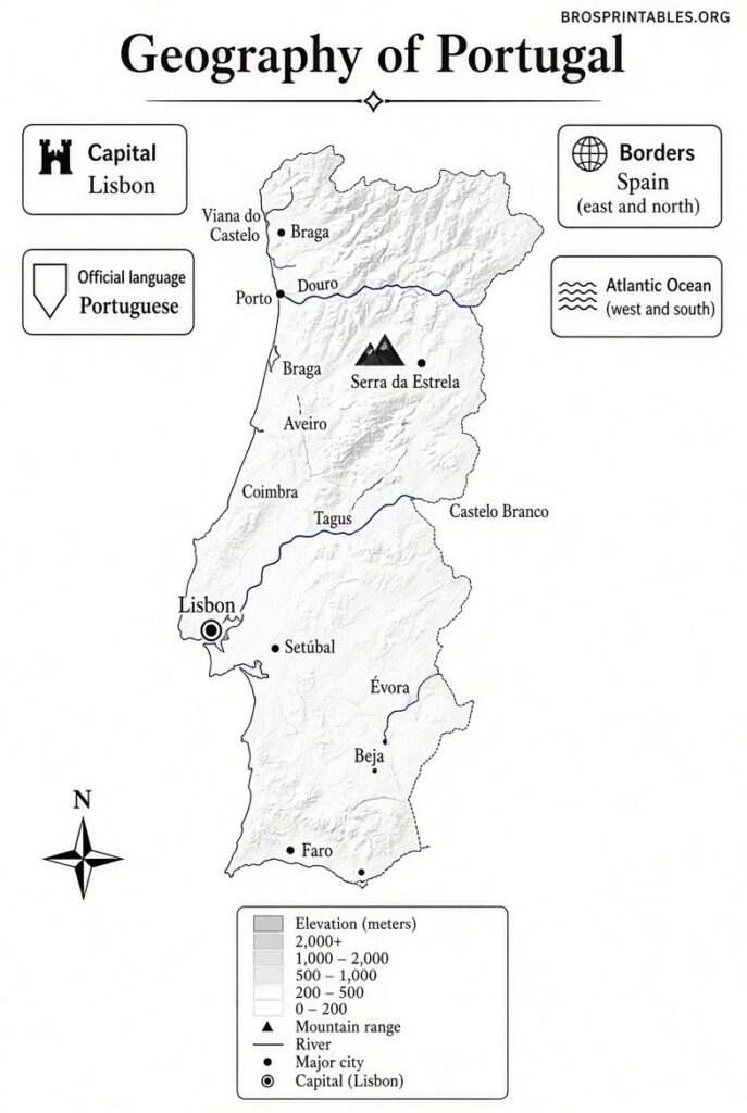
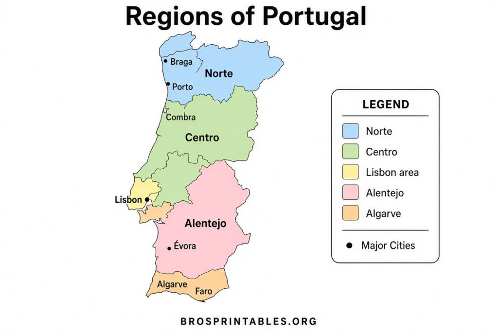
Portugal sits on the Iberian Peninsula, bordered by Spain to the north and east and the Atlantic Ocean to the west and south. It includes the mainland plus the autonomous regions of the Azores and Madeira. A good printable map helps you see the 18 mainland districts, major cities like Lisbon and Porto, rivers, and coastal features at a glance.
This page gathers legitimate free resources so you can download and print maps right away—no account or payment required on the sites listed below.
Why Use a Free Printable Map of Portugal?
Printable maps work well for:
- Students and teachers practicing districts, capitals, or physical features
- Travelers sketching routes or marking places visited
- Homeschool geography lessons
- Quick reference without needing an internet connection
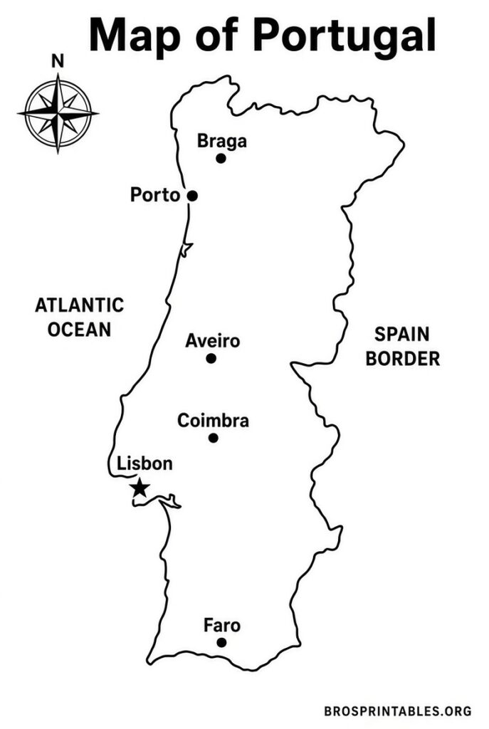
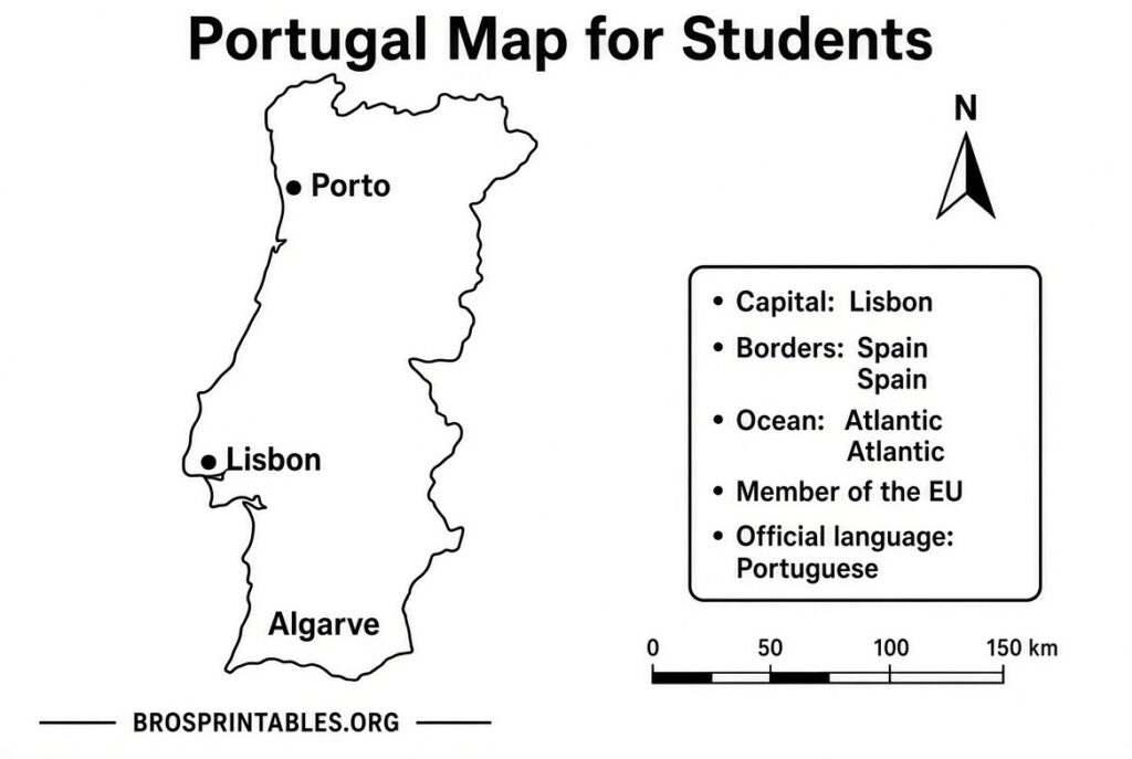
Blank outline maps let you label places yourself. Labeled political maps show districts and cities. Physical versions highlight terrain and rivers. Most downloads support standard US Letter (8.5 x 11 inches) or A4 paper—just choose “fit to page” in your print settings.
Where to Download Free Printable Maps of Portugal?
Here are trusted sources offering free, high-quality printable maps. All are currently available for personal and educational use.
One of the most complete free collections is at Mundomapa. You can download high-quality PDFs of the political map (with districts and capitals), a version with district and city names, blank outline maps, a coloring map for kids, and a physical map showing relief, rivers, and mountains. Simply click the green button under each map.
For a clean, public-domain blank outline map with the 20 administrative areas (mainland districts plus Azores and Madeira), visit GeoDataViewer. Download SVG for editing, high-resolution PNG, or PDF sized for Letter, A4, or larger paper. No watermark, no signup, and the data is CC0 (public domain).
Additional free outline, blank, location, and capital-highlight maps are available from Mappr. These include color and black-and-white versions showing Portugal on the globe, in Europe, as a simple outline, and with Lisbon marked. Downloads are free (attribution requested under the Creative Commons license for some designs).
You can also find free blank and outline maps of Portugal in PDF and JPEG formats at World Map Blank, including versions with districts.
These four sources cover the most useful free printable options currently available. Always download directly from the linked pages and check each site’s terms for personal or educational use.
Free Printable Map Of Portugal
Tips for Printing Your Portugal Map
- Use standard US Letter paper for most home printers.
- Select “Fit to page” or “Actual size” depending on whether you want margins.
- For classroom use, print multiple blank copies so students can label districts or cities.
- SVG files (available on some sites) scale cleanly for larger posters or digital editing.
- Black-and-white versions save ink and work well for coloring activities.
Quick Facts About Portugal’s Geography
Mainland Portugal has 18 districts. The two autonomous regions (Azores and Madeira) bring the total administrative units often shown on maps to 20. Lisbon is the capital and largest city; Porto is the second major urban center. Major rivers include the Tagus (Tejo), Douro, and Guadiana. The highest point on the mainland is Torre in the Serra da Estrela; the country’s overall highest peak is Mount Pico in the Azores.
FAQ
Are these maps really free?
Yes. The linked sites offer the maps for free download with no payment or mandatory account for basic personal and educational use.
What paper size should I use?
Most PDFs work with US Letter or A4. Choose the option that matches your printer.
Can I use the maps for school or commercial projects?
Personal and educational use is generally allowed. Some maps (especially public-domain ones) permit broader use; check the individual site’s license notes.
Do the maps include the Azores and Madeira?
Many do, often as insets. Confirm on the specific download page.
A free printable map of Portugal is a simple, practical tool for learning or planning. Start with the links above, download the version that fits your needs, and print it out. Happy mapping!